A cold front started to move into the Las Vegas valley on Friday and had dramatically lowered the temperatures a good 25 degrees, from a week before, by Saturday. This gave us a lot more options to choose from for our weekend hike. With this in mind I wanted to do a hike that we wouldn’t normally do this time of year. After looking through my hike guide, “Afoot and Afield: Las Vegas and Southern Nevada: A Comprehensive Hiking Guide”, and my favorite local hiking web-site, Bird and Hike, I decided on the Pinto Valley Trail in the Lake Mead National Recreation Area.
This hike was listed in my guide as a 2-5 mile out-and-back hike while on Bird and Hike it was listed as a longer 11.5 mile one-way hike. Being the adventurous type, I thought that we would try the one-way hike. My main reason for this is I truly despise out-and-back hikes. I think it is boring to hike out to a pre-determined location, turn around, and hike straight back. Where is the change? In a loop or one-way hike you never really see the same terrain twice which is why I made the decision to extend our hike out to 11.5 miles one-way.
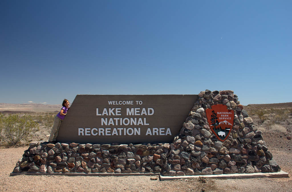
In order to make this hike happen I would either need another person with a car to go with us or have someone drop us off and pick us up. I was unable to arrange for the first option so we went with the second. Dawn, Lexi, and I drove out to Lake Mead NRA and passed by the Lake Mead Pkwy entrance at around 11:00, of course stopping and getting our park sign picture. Getting to the trail head would take another hour.
There are two trail heads for this trail. The first is the east trail head located just before mile post 26 and the second is the west trail head located just after mile post 18 along Northshore Rd. On the advice of Bird and Hike I decided to start at the east trail head and work our way west.
Once we arrived at the trail head, we started to get our stuff put together. Dawn got the chance to see us all get suited up and ready to go one our adventure into the middle of nowhere. Before she left we’d agreed that she’d meet us at the west trail head between 18:00 and 18:30 and she should bring something to do in the event that we ran late.
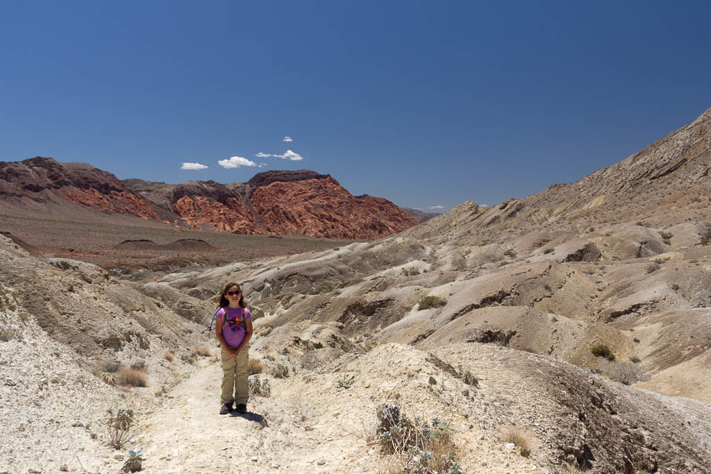
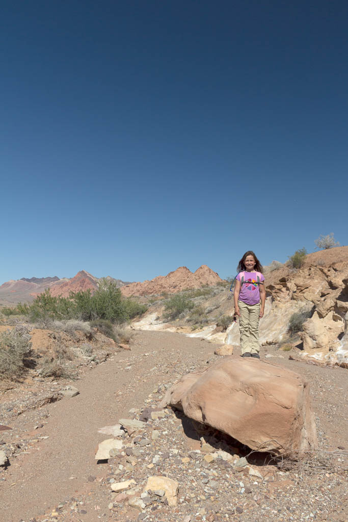
We found our trail pretty easily. After crossing Northshore Rd we had to navigate a couple small hills in order to locate the old road that used to run through Pinto Valley. Once we found the old road, we walked on either it or a large wash for most of the trip. We had a great time enjoying the desert walk along with the wonderful breeze.
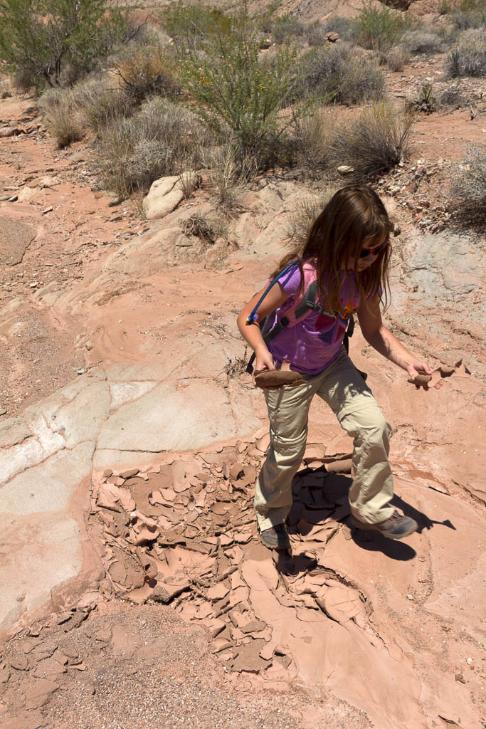
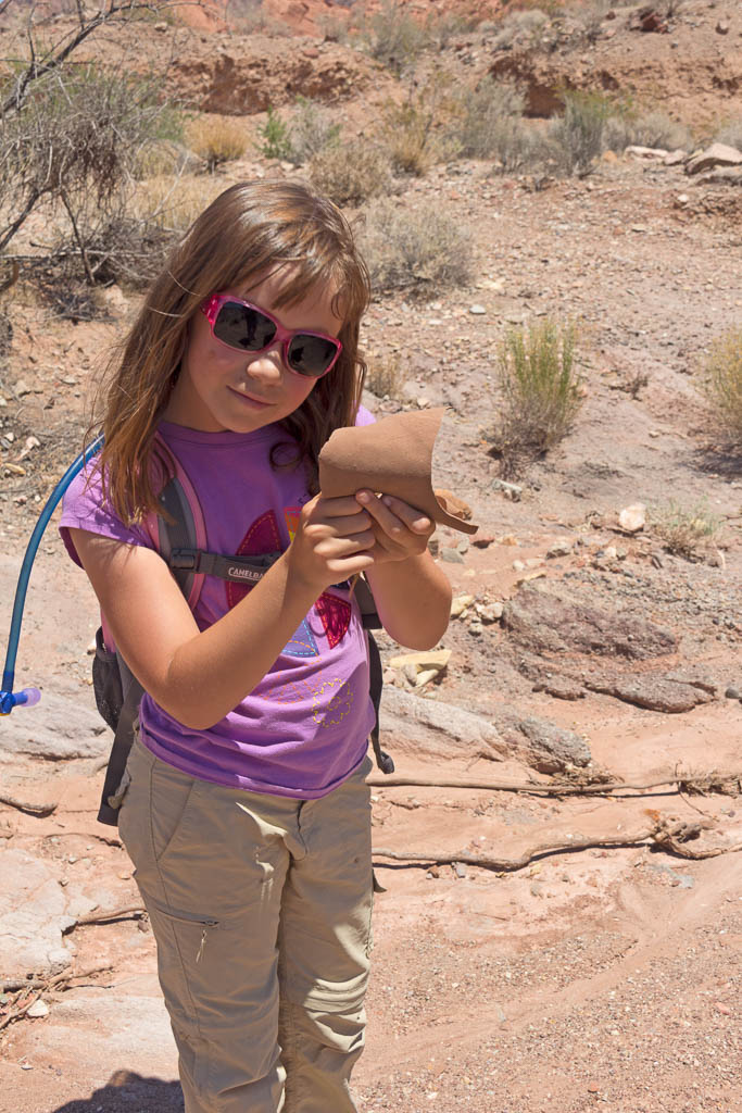
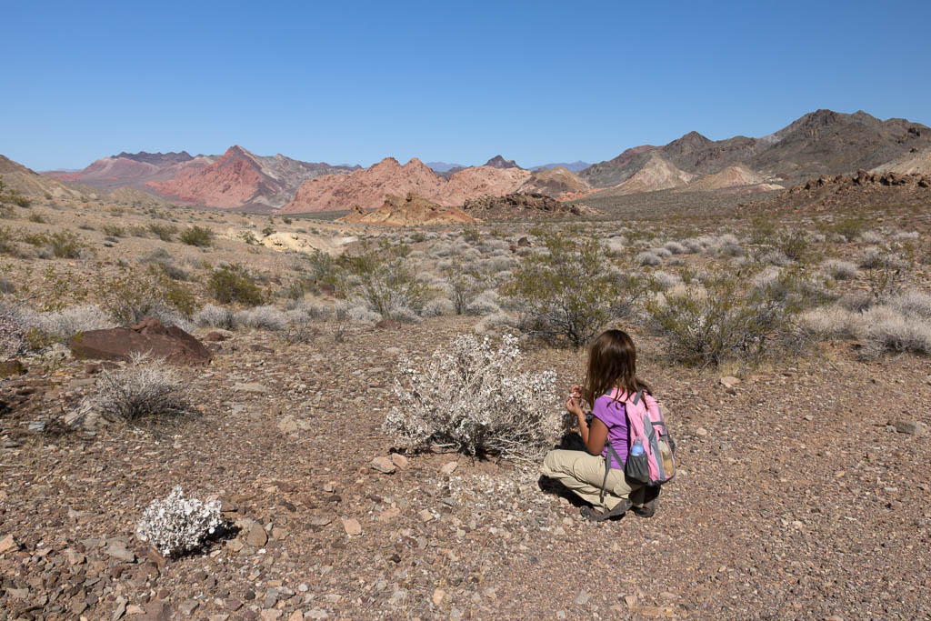
During the entire hike Lexi was obsessed with these areas of dried up desert floor. If you go through some of the pictures below you’ll see what I’m talking about. Anytime we would come to one of these dried up pools she would pick up a couple pieces of the cracked earth and throw then to the ground just to watch them come apart. I think that was one of her favorite parts of the entire hike was playing with this dirt shards.
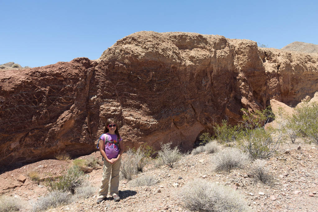
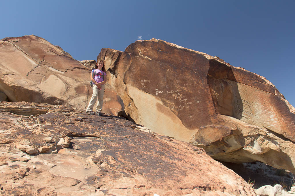
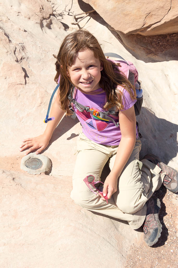
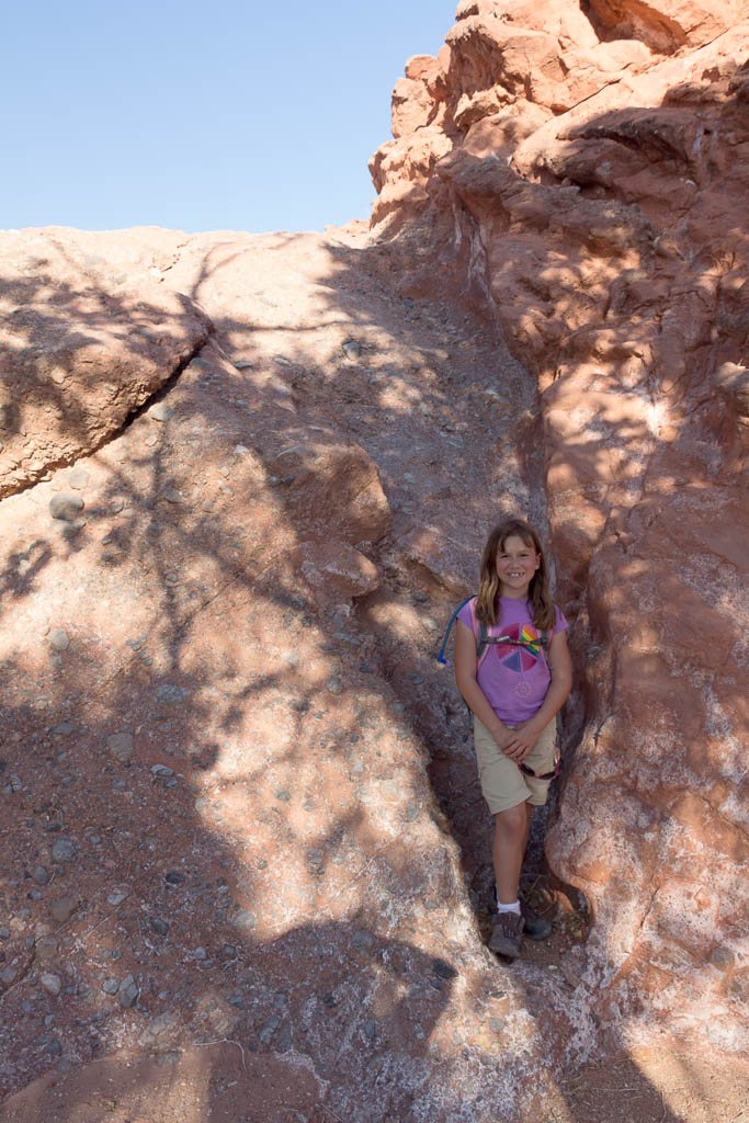
We continued our way westward until we came to our lunch landmark, signature rock. You can see from the pictures below where this landmark gets its name. I was surprised when looking at the rock to see that the most recent signature, that I could read, was dated 1980. The oldest was that of “Tony Kraeger 11-24-22 Boulder Canyon 5-Miles”. What is interesting about Tony Kraeger’s signature is its use in a NGS marker’s description. In 1950 the NGS marker, which Lexi is pictured with, had its description updated and in that update Tony Kraeger’s signature was specifically mentioned. If you’re interested you can see the datasheet on the marker here.
After lunch we continued our way west along the wash on our way to exiting Pinto Valley. It wasn’t long before we stumbled back upon the road that we hadn’t seen since the beginning of our trip. Shortly after starting up the road I saw a face staring at me in the distance. In front of us, maybe 10-15 feet away, there was a Desert Big Horn Sheep staring at us. I started for my camera and before I could get a shot showing how close he was he started down into the wash and back up the other side. He kept working his way up far side of the valley until he came to the ridge line where I snapped several pictures of him. He sat there on that ridge for at least 10 minutes watching us before he finally disappeared.
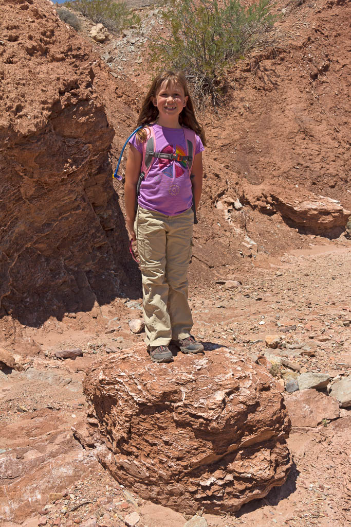
Continuing down the wash we eventually came to a 10-12 foot tall pour-over that we had to negotiate. At first look I thought that it was too tall for Lexi and me to try to go down. Lexi was convinced that it was no big deal and kept looking at how to get down while I looked for another way around. Not seeing an obvious way in sight I took another look at the pour-over. After giving it a couple more good hard looks I decided that we could make it if we got down and scooted on our bottoms. I went first, very slowly, with Lexi right behind me. I figured if she fell I would be in the way and hopefully stop us both from falling all the way to the bottom. That didn’t happen and we made it down without issue. Once at the bottom I snapped a picture documenting Lexi’s triumph.
From there on out it was nothing but downhill following a wash all the way back to Northshore Rd. We arrived at the west trail head at around 18:00 sat back and relaxed while we waited for mom to come pick us up. Mom arrived about 10 minutes later to see us sitting on a curb, me without my shoes on, enjoying the nice breeze.


You must be logged in to post a comment.